
Walk a Crest Hill Street
The safest street-by-street method separates ownership, location, voter status, and old household evidence. The Will County assessor address search is the practical first stop. It links a written address to a parcel identification number, or PIN. A PIN is the county's parcel key. It is more stable than a spelling or postal label and links the assessment record to maps and recorded land documents.
Do not treat an owner name as a list of occupants. A deed names legal parties, not everyone at the address. Voter tools require personal identity fields and confirm only an individual's registration status. Historical city directories are dated snapshots. Together, those limits make the Crest Hill street directory useful without turning one record into a claim it cannot support.
- Enter the house number, street name, and city in the assessor form. Save the PIN and municipality shown on the parcel result.
- Open the county GIS viewer and locate the parcel. Check adjacent parcels, roads, municipal lines, and any relevant county layers.
- Use the PIN or address in the Recorder index. Search address, PIN, and names separately, as the Recorder recommends.
- For city-held permit, zoning, or code records, ask Crest Hill Building, Planning, or the Clerk for the existing file by address and date range.
- For an older household, consult dated Polk, Joliet, or Lockport-area directories at the local libraries rather than presenting the result as current.
Crest Hill Address Search Fields
The assessor portal offers six routes: PIN, address, sales, subdivision, owner, and property class. For a street directory task, the address form is the narrowest start. Its fields are optional, which lets a search begin with only a street name when a house number is uncertain. The site warns that address data comes from the countywide 9-1-1 addressing system, and the result remains an assessment cross-reference rather than a legal survey or deed.
| Search field | Input | Required | Use |
|---|---|---|---|
| Street number | Number | No | Narrows the parcel address |
| Street name | Text | No | Supports a street-wide search |
| City | Text | No | Helps separate similar county roads |
| PIN search | Six segments | No | Checks a known 14- or 16-digit parcel key |
The form's city value and the parcel's municipality deserve separate notes. Crest Hill parcels can sit in different township assessment contexts, so the street directory should preserve the municipality, township, PIN, and tax code exactly as the source labels them.
The manifest capture shows the live assessor address form used for Crest Hill streets.
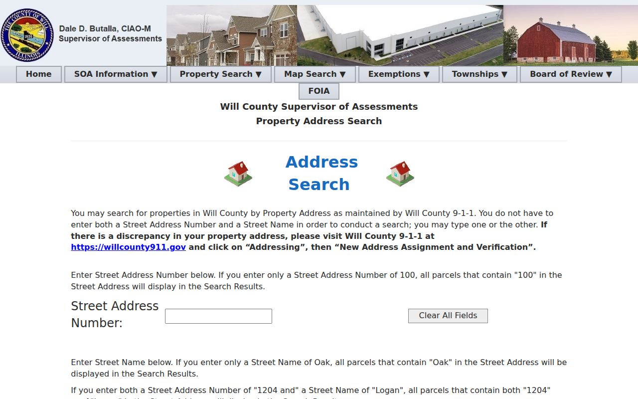
The separate number, name, and city boxes make it possible to widen or narrow an address search without guessing a resident name.
Map Crest Hill Street Records
The Will County GIS Data Viewer places a parcel within the county's map layers. GIS means geographic information system, a map that connects features to stored data. Use it to confirm shape, frontage, nearby parcels, and mapped boundaries. The county cautions that GIS data is informational and is not a legal survey.
Crest Hill has a split township and service setting. The city identifies both Lockport Township and Plainfield Township fire protection districts. A parcel result can also show a Crest Hill municipality while its assessment context belongs to one township. That local mismatch is why a PIN and municipality are better evidence than a ZIP alone. The official city street map can add wards and subdivision labels, but current GIS and custodian confirmation should control when an older PDF differs.
Note: Keep postal city, municipality, township, ward, and fire district in separate fields because each describes a different Crest Hill record layer.
Crest Hill Deeds by Address
The Will County Recorder search guidance says to run name, PIN, and address as separate searches. In the advanced address tab, enter the house number, street name, city, and ZIP. Omit a suffix such as Street, Drive, or Avenue from the street-name box. A percent sign can serve as a wildcard where the portal permits it. This is a key street directory tip because one crowded query may hide a useful match.
The online document system generally covers 1965 to the present, while the Recorder's repository reaches county inception in 1836. Record the instrument type, document number, recording date, party roles, PIN, and legal description. A legal description identifies land by the recorded parcel description, not merely by its mailing address. Older indexes, books, plats, and microfilm can be searched at Recorder Archives. Staff can help a visitor start, but cannot conduct the search for that person.
- Parcel
- A mapped unit of land identified by a PIN.
- Situs address
- The physical location used for the parcel, which may differ from the owner's mailing address.
- Plat
- A recorded map that lays out lots, blocks, streets, or a subdivision.
- Criss-cross directory
- A historical directory arranged by street and house number instead of only by surname.
Crest Hill Street Record Layers
No single Crest Hill street directory record answers every address question. The source and its date must travel with each fact. County land tools cover parcels and legal instruments. City offices hold planning, permit, code, and meeting files. USPS handles delivery labels. Libraries preserve dated directory and newspaper clues.
| Record Set | Keeper | What It Shows | Access |
|---|---|---|---|
| Assessment parcel | Will County Supervisor of Assessments | PIN, situs, owner and assessment cross-reference | Free online; township follow-up |
| GIS parcel map | Will County GIS | Mapped parcel and county layers | Free viewer; not a survey |
| Recorded instruments | Will County Recorder | Deeds, mortgages, liens, releases and plats | Free index; images, copies, or Archives |
| Permit and zoning file | Crest Hill Building and Planning | Existing address-linked city records | Department contact or city FOIA |
| Historical directory | White Oak, Joliet, and Plainfield libraries | Dated household and street clues | Online metadata, onsite shelf, or staff help |
The PIN connects the assessor result to GIS and Recorder documents. The written address connects that parcel to city files and library volumes. When the question is historical, the Crest Hill city directory collections explain the shelves and how to read an old entry. A current voter-status lookup is different: both the county and state tools require personal identity inputs, and neither is a public street roster.
Crest Hill Planning by Street
Crest Hill Planning and Zoning connects addresses to hearings, subdivisions, and land-use files. The city describes mailed notice to property owners within 300 feet for relevant public hearings. That notice radius is a planning rule, not a list of social neighbors. Search the meeting index for the date, agenda, packet, minutes, and attachments, then ask the city for the existing address or parcel file when no online index is available.
The live Crest Hill Planning and Zoning page is one of the by-street images assigned in the manifest.
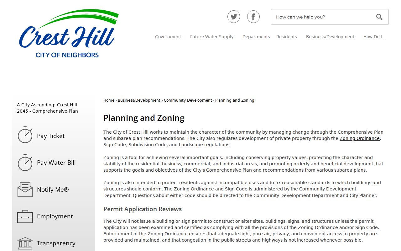
The capture points to the public-hearing and zoning route that supplements county parcel data with city-held land-use records.
For a narrow request, give the Clerk or Planning staff the street address, PIN, record type, department, and date span. The city offers JustFOIA online and a printable form with choices to copy or review records. Illinois FOIA can reach an existing public file, subject to exemptions and redactions, but does not require the city to create a new address list.
Crest Hill Permits by Address
The Crest Hill Building Department handles permits, inspections, contractor registration, and related applications. Research did not locate a public citywide permit search. Contact the department at 815-741-5106 or use city FOIA for an existing file identified by address, PIN, type of work, and date range.
The manifest's assigned Building Department capture shows the official Crest Hill route for address-linked work records.
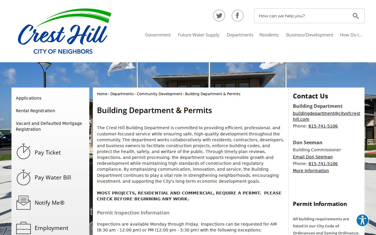
A permit file may establish work at a site or identify an applicant. It does not establish every person who lived there.
Seven Crest Hill Street Zones
Crest Hill's seven hydrant-flushing zones offer unusually local street language. The city groups places such as Carillon Lakes and Renwick Club, Fields of Longmeadow and Remington Lakes, Cambridge Crest, Advantage and Enterprise, plus street clusters around Oakland and Burry Circle. These operational labels can help a reader recognize the right part of town when a generic county result is vague.
They are not wards, subdivisions, tax codes, or proof of residence. Check the city hydrant-flushing locator, then confirm the parcel in GIS and the city map. Crest Hill's official street map also labels wards and subdivisions. No current downloadable index of retired or renamed city streets was found, so an old spelling should be checked in ordinances, meeting packets, historical directories, and Recorder legal descriptions.
Broadway and Crest Hill History
The city comprehensive plan places historic Route 66 along Broadway Street in Crest Hill. That makes Broadway a useful example of how a road can be traced through several record eras without claiming that any named person lived there. Start with the current city map and assessor. Add Recorder plats and instruments. Then search old Joliet-area directories and newspaper microfilm by the street name and date.
A 2025 Lockport Township assessment sheet provides another concrete map specimen. It labels Weber Farm Crossings of Crest Hill, Crest Hill Drive, City Center Boulevard, Caton Farm Road, and Weber Road, along with recording numbers. The sheet is a map aid, not a survey. Its recording number can lead from a subdivision label to the Recorder instrument, while the PIN leads back to the parcel card. This map-to-PIN-to-instrument chain is stronger than a loose name search.
Crest Hill Street Directory Limits
A street directory cannot supply a complete, current household roll. The assessor and Recorder usually identify an owner or legal party, not each occupant. A mailing address may differ from the situs address. Voter status tools are identity-gated and governed by Illinois election-law restrictions. Driver data, protected addresses, vital records, and many court fields have separate access limits. City emergency medical cards are voluntary private safety records, not a public list.
Dates matter. A deed can remain in the chain after a later transfer. An assessor card can lag a recording. A historic directory reflects its publication year. Verify a material claim with the office that keeps the record and retain the source date. If the goal shifts from one road to one known person, use the resident lookup workflow rather than sweeping a whole block.
When a result conflicts, return to the parcel key and the record date. Ask the township assessor about an assessment detail, the Recorder about a recorded instrument or copy route, and Crest Hill staff about a city-held permit or planning file. Save the exact query used, including whether a street suffix was omitted. Also save the portal's field label, since physical address, mailing address, municipality, ZIP, and legal description are not interchangeable. This audit trail helps another researcher repeat the search and spot a later correction. It also keeps a plausible match from becoming an unsupported claim about a household.
Lawful use. Crest Hill address records are for lawful personal research. Never use a street search to stalk, harass, intimidate, or harm another person.